
Geography is the subject which holds the key to our future.
Michael Palin
Geography is the study and revision of physical features of the Earth and its atmosphere. This science's three major branches are Human Geography, Physical Geography, and Environmental Geography.
When studying an academic discipline, learners encounter specialised words and phrases. They rely on a glossary to understand their field of study's terms and definitions. In this article, Superprof lists and defines essential geography terms students must master.
A geographical term is a word or phrase used in the science of geography, often derived from the physical features of a region. These terms help describe and categorise the natural and human-shaped aspects of the Earth.


Geographical Terminology from A-F
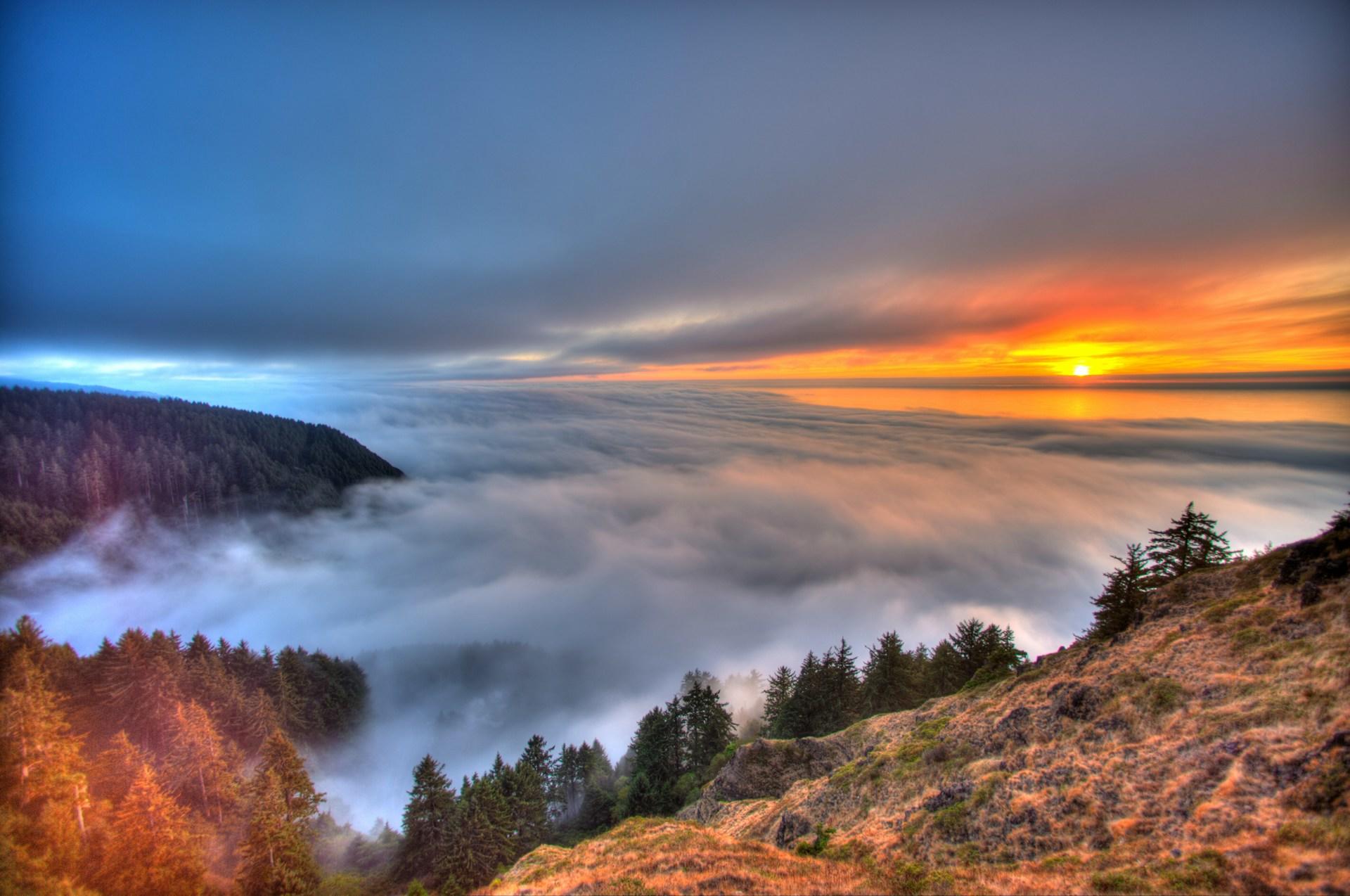
As Julie Andrews once intoned in The Sound of Music, "Let's start at the very beginning". It is, after all, the very best place to start. Absolute Location is a geographical term that starts with A. It represents a location measured by latitude and longitude.
This photo makes it hard to determine the absolute location. A geographer might use an aerial photograph such as this to oversee a specific location. An aerial photograph is a photo taken from the air, of course.
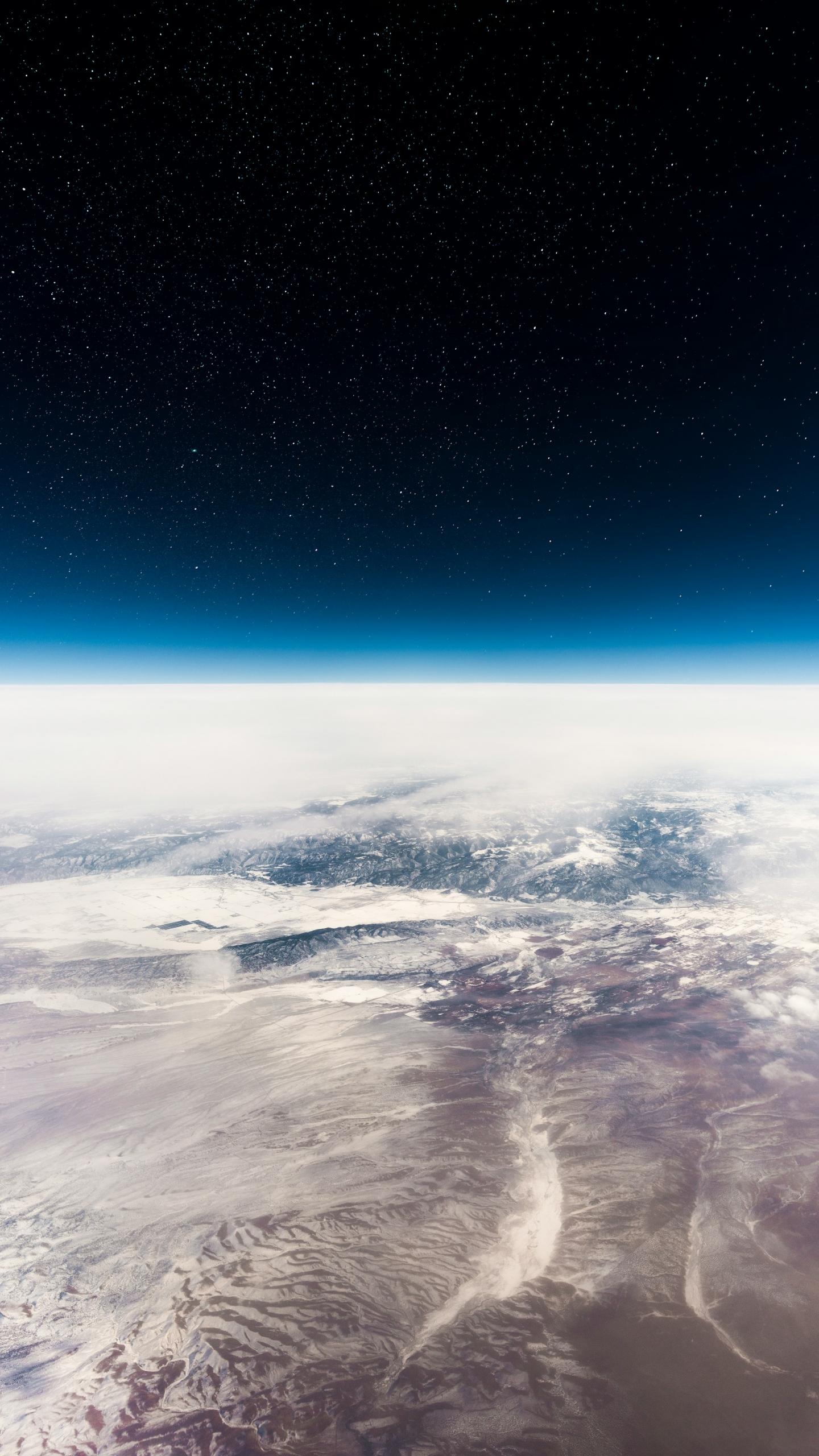
Altitude and Atmosphere are geographical terms, too. The first one describes the vertical height above sea level. The second one relates to the envelope of air, gases, and suspended articles surrounding the earth. The mix consists of 78.09% nitrogen, 20.95% oxygen, and 0.96% of it is a blend of 19 other gases.
In geographical terminology, an anomaly is a 'place' that doesn't fit a general pattern. Scientists of all types, including geographers, study these locations. An archipelago - a group of islands such as the Galapagos or Hawaii, fits the 'anomaly' definition. Scientists study their flora, fauna, and compositions because they are relatively undisturbed.
Geographical terminology - B
Biogeography is the geographic study of the distribution of animals and plants on the planet. Biodiversity represents the assortment of species - flora and fauna, found in a specific area. An area's Biomass calculates the total mass of living organic matter within its borders.
A Biome is a major terrestrial vegetation community. Tropical forests and deserts are examples. These areas undergo a Biophysical process; that is, an interrelated sequence of cause-and-effect relationships. Soil-forming processes and nutrient cycling are two examples of such.
Biofuel: a fuel that is derived from living or natural matter; gas, alcohol, and dead biological materials are known as biofuels. Blue Water is the term geographers use to identify freshwater bodies, such as lakes and rivers.
Geography Terms Starting with C
The list of geographical terms that start with C is so long that it's more efficient to create a chart for them. It includes words and phrases from each of the distinct types of geography.
| Geographical Term | Definition |
|---|---|
| Cartography | The study and practice of map-making. Cartography includes construction of projections, design, compilation, drafting and reproduction to model the reality of spatial information. |
| Characteristics of Places | To describe the people, climate, production, landforms, built environment, soil, vegetation, water resources, cultures, mineral resources and landscape. Distinguish between tangible and intangible characteristics. Land features and architecture are tangible. Intangible characteristics include scenic quality and socioeconomic status. |
| Cloropleth map | A thematic map with shaded areas to show higher and lower values. |
| Climate | A long-term average (minimum 30 years) of weather conditions at a place. |
| Climate Change | Known as the variation of climatic conditions and the result of new weather patterns that are distinct from past decades. |
| Climate Graph | A graph showing average monthly temperatures and rainfall for a location. |
| Climatic Zones | Areas of the earth that have similar climatic conditions. |
| Comparative Place Analysis | A comparison of places. |
| Conservation Preservation | Management of the environment and natural resources. Maintaining the existing condition of (untouched) environmental areas. |
| Continuous Resources | Resources such as solar or wind energy, whose availability is unaffected by use. |
| Country Place | A space mapped out by physical or intangible boundaries. (Aborigine Peoples) A space mapped out by physical or intangible boundaries. (Torres Strait Islander Peoples) |
| Culture | A body of beliefs, attitudes, skills, and tools communities use to structure their lives and interact with their environment. |
Geography Glossary - Section D
Deforestation is the act of cutting down trees and clearing forests for human use. A Delta is a triangular plain at the end or mouth of a river where the soil is deposited. A Drought is a prolonged time with less than average rainfall, which can negatively affect living conditions. Geographers measure and study these aspects using:
Data
Qualitative or quantitative information, recorded directly.
Digital Mapping Tools
Software programs to create maps
Digital Terrain Models
land surfaces with vegetation, buildings and other objects removed.
Geographical Terms Starting with E
The study of geography has five themes. Geographical terms that start with E span the whole range. Thus, we resort to efficiency, once again, by presenting them in this chart.
| Geographical Terminology | Definition |
|---|---|
| Ecosystem | A functioning unit of nature defined by a complex set of relationships among its living organisms. |
| Ecosystem Services | Services ecosystems provide to support life without human input. Climatic stability, hydrological regulation, pollination, and nutrient cycling are examples of ecosystem services. |
| Ecosystem-based Management | A system of managing based on improving an ecosystem's health. It focuses on producing commodities, not maximising the production of individual commodities. |
| Energy Flow | The flow of energy through a biological food chain. |
| Environment | An area's setting and conditions, where activity occurs, with natural, managed or constructed features. |
| Environmental Functions | Functions of the environment that support human life and economic activity, |
| Environmental Quality | Characteristics of a local environment that impact human physical and mental health, as well as the quality of life. |
| Environmental Resources | Renewable, non-renewable and continuous resources obtained from an environment. |
| Environmental Worldview | A person’s ideas of the relationship between humans and nature. |
| Ethical Protocols | Applying fundamental ethical principles when undertaking research and collecting information from primary and secondary sources. |
| Export Industries | Industries that sell a service to those who come from other places to obtain the service. |
Geographical Terminology - Chapter F
Fauna represents all the animal life present in a particular region or time. Typical fauna of Bolivia includes the alpaca, the Andean flamingo, and the capybara. Flora are the plants of a specific region, geographic location, or geological period. For example, the Scotch Thistle, the Bog Myrtle, and the Gorse are all typical flora of Scotland.
In general, we consider the flora and fauna features of places. Such features include those natural elements, as well as constructed and managed aspects of a location.
A geographer might do fieldwork to observe such information while in those environments. Often, that's how fossil Fuel deposits are found. A fossil fuel is a natural fuel such as gas or coal.
Geography Terms from G-M
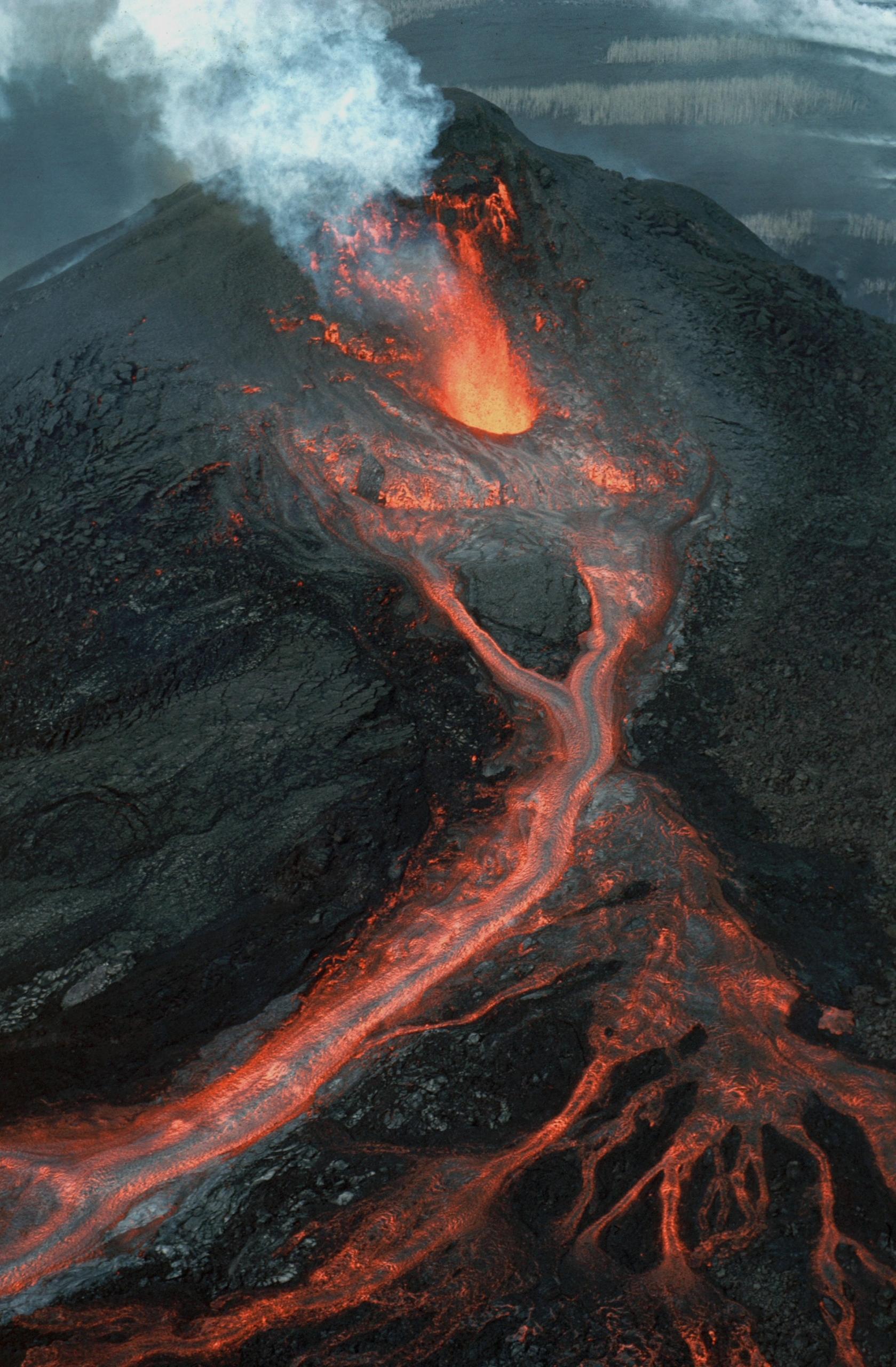
Magma is molten rock that lies below the surface of the Earth; found in the mantle or crust of our planet. During a volcanic eruption, lava spews forth, adding new layers to the Earth's crust.
Geothermal sources of heat originate from the Earth's core. Volcanoes, magma, lava, and even geothermal vents represent geomorphic hazards.
Those are dangers relating to earth movements - volcanoes, tsunamis, and earthquakes.
As the prefix 'geo-' identifies many terms pertaining to this science, the list of geographical terms beginning with G is extensive. The list of geography facts beginning with G is just as long, and equally interesting.
Global Warming: a gradual increase in the Earth's temperature that has been constantly discussed by environmentalists in recent years. The entrapment of greenhouse gases causes global warming.
Greenhouse Effect: a complex phenomenon when the gases in the Earth's atmosphere trap the solar radiation as a consequence of atmospheric carbon dioxide, water vapour, and methane. Here you can find a more thorough definition.
Geography Terms Beginning with H
Hazards aren't just geomorphic; any destructive force of nature that endangers communities or the environment is a hazard. For instance, hazards may impact a Habitat - an area or region where a species of animals or plants reside.
Hemisphere indicates half of a sphere. Geographers divide our spherical Earth by its meridian to create eastern and western hemispheres. The equator divides the Northern and Southern hemispheres.
Human geography is one type of geographical study. Thus, many geography terms address the human condition:
Human Wellbeing
The quality of life of a population.
Housing Density
The number of homes per hectare.
Human Environment Systems Thinking
Analysis of interactions between people and their environment
Hydrology and Irrigation mark the boundary between geography terms beginning with H and I. Irrigation is an engineered system for watering agriculture. Hydrology represents systems of water movement, both natural and man-made.
Geography Glossary - Chapter I
Ice Sheet: massive layers of ice covering an area that is greater than 50,000 square kilometres. Ice sheets can currently be found in Antarctica and Greenland.
Immediate and Underlying Causes refer to nature-driven events such as environmental changes and biophysical processes (immediate). Underlying causes are typically human-engineered, such as population and economic growth, and government policies.
Inorganic: someone that does not originate from natural matter; can be known as inanimate, lifeless, or extinct.
Internal Migration represents the movement of people from one region to another within a country. They may do so for many reasons, including to adapt to the inter-regional transfer of water. This geographical term describes the transfer of water from one basin to another. For instance, from a river to a delta.
Geographical Terms Starting with L
It seems famous geographers preferred assigning aspects of their studies words beginning with L. As you can see from this chart, the list is quite long. It includes aspects of human geography, as well as physical geography and cartography.
| Glossary Term | Definition |
|---|---|
| Lagoon | A body of water that lies between a reef and a coastline, usually protected by conservationists. |
| Land and Water Degradation | Human action degrading the health of land and water resources such that it threatens the resources' ability to maintain their environmental functions. |
| Landform | Individual Earth surface features we identify by their shape. |
| Landscape | An area's visible appearance, made through a combination of geological, geomorphological, biological and cultural layers, evolved over time. |
| Landslide | The sliding down of a mass of earth or rock from a mountain or cliff. |
| Latitude | Imaginary horizontal lines on the Earth that are utilised to specify the north or south position of a coordinate on the Earth's surface. |
| Lithosphere | The solid crust and upper mantle of the Earth. Also labelled the geosphere. |
| Livability | An assessment of a place, and what it's like to live there. |
| Local Area | The area around one's home, work or school, that they can explore in a few hours. |
| Longitude | Imaginary vertical lines used to determine exact geographic coordinates that run along the eastern and western hemisphere of the Earth. |
Geographical Terminology Beginning with M
Meteorology: a subbranch of physical geography that involves the study of the atmosphere.
Monsoon: a prevailing seasonal wind that occurs during two seasons: summer (wet monsoon) and winter (dry monsoon).
Geography Glossary: from N-S
Natural Resources are substances that occur naturally in nature and have a commercial value.
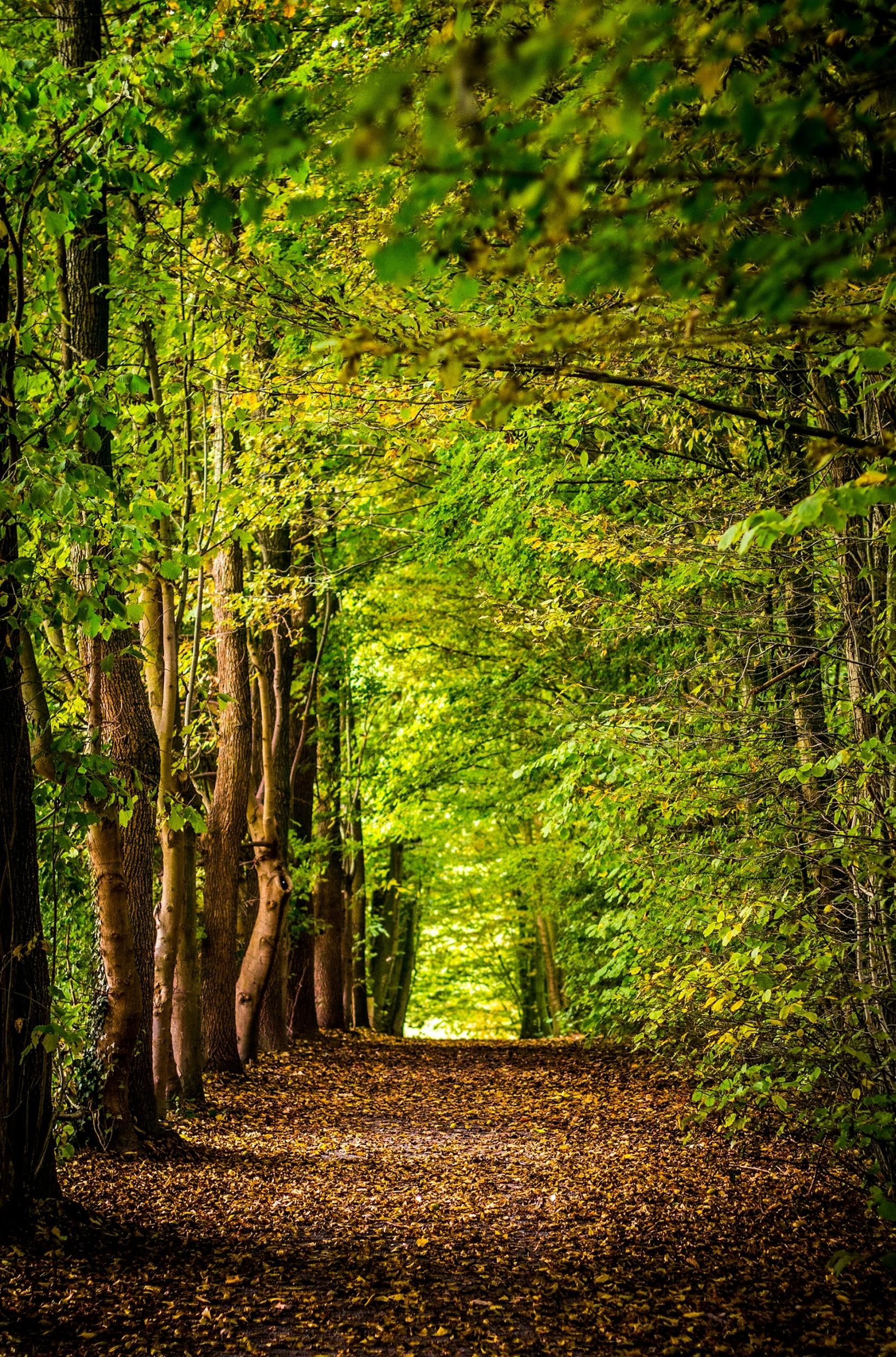
Natural vegetation, such as this forest, is vegetation that's evolved in one area over time.
Areas such as these boast a rich nutrient cycle. That involves recycling plant nutrients like phosphorus and nitrogen. This can be a natural process, or man-made.
Non-renewable resources, such as minerals, are not a part of the nutrient cycle. However, Net primary productivity (NPP) is. This productivity indicates the natural agricultural productivity of an area; these values are climate-based.
Scientists have recently discovered that the North Pole is rich in minerals. This is the point on the Northern Hemisphere of the Earth that is farthest North, 90 degrees North of the equator.
Geography Terms That Begin with O
Oasis: a fertile watering hole in a geographically arid place such as a desert. It is formed since there was water previously present in the specific area.
Ocean Current: the flow of ocean water in a defined direction.
Omnivore: not a herbivore and not a carnivore, omnivores refer to animals or people who indulge in both plants and meat.
An outline map gives only basic information. A map displaying the borders of a country is an outline map.
Geography Glossary - Chapter P
This letter brings us another long list of terms best laid out in a table. You might print it as a reference for your geography lessons.
| Glossary Term | Definition |
|---|---|
| Pattern | Data regularities depicted in maps or graphs. |
| Perception | A subjective assessment of a location or environment. |
| Pesticide | A chemical substance used to exterminate pests or insects and prevent their infestation. |
| Physical Weathering | Mechanical weathering, is the breaking down of rocks by natural agents such as wind and running water. |
| Place | A part of the earth’s surface that a people identify and give meaning to. |
| Plateau | A large area of flat and relatively high ground. |
| Population Pyramid/Profile | A graph displaying the ages and gender composition of a population. |
| Prevention, Mitigation, and Preparedness | A series of actions to minimise or eliminate the impact of a hazardous event on people, communities, and the environment. |
| Primary Sources | Unprocessed, original data, such as field notes, observations, and measurements. |
Geography Terms that Start with Q
A Quarry is an open-air mine from which to extract rocks and minerals. By contrast, the next two Q terms are more scientific in nature.
Quantitative Methods
Statistical and other methods to analyse numerical data, such as crime rates and income levels.
Qualitative Methods
Non-numerical information that can only be described. Focus groups, surveys, and interviews deliver qualitative information.
Geographical Glossary R-S
The letters R and S are two of the most used in the English alphabet. It stands to reason that many geographical terms begin with these letters. These charts present them, along with their definitions.
Geography Terms - R
| Geographical Terms | Definition |
|---|---|
| Ravine | Narrower than a canyon and the product of stream cutting erosion; usually very narrow and quite deep. |
| Region | An area where different parts have something in common that distinguishes it from neighbouring regions. |
| Relative Location | One location in relation to other places. |
| Remote | Distant or far away, such as those far from population centres. |
| Renewable Resources | Resources - water, energy and so on, that are or can be renewed relatively quickly. |
| Representation | Displaying geographical information in a visual form |
| Run-off | A term used for water from rain or melting snow that does not get absorbed into the soil. |
Geographical Terms - S
| Geographical Terminology | Definition |
|---|---|
| Sandbar | A long, narrow sandbank that is usually located near the mouth of a river. It is built by the action of tides, currents, and waves. |
| Satellite Images | Digital images that satellites capture from above the Earth’s surface. |
| Savanna | Tropical grasslands with scattered vegetation primarily located on the African continent. |
| Scale | Spatial scale: how we may examine geographical phenomena and problems at different spatial levels (local scale, global scale, etc) Map Scale: the relationship between a distance on the ground and a corresponding distance on a map, typically expressed as a ratio. |
| Scatter plots/graphs | Graphs that plot a relationship between two variables. |
| Scattergram Graphic Organiser | A graphic organiser that records collected data and reveals correlations. |
| Seasonal Calendar | Typically Spring, Summer, Autumn, Winter. A classification of weeks or months of a year into seasons. |
| Secondary Sources | Information that others have collected, processed, interpreted and published. |
| Settlement Pattern | A spatial distribution of different human settlements. |
| Social Connectedness | Measuring the number and strength of people’s social relationships. |
| Social Justice | The principle that all people have the right to fair treatment and equal access to social benefits. |
| Space | A three-dimensional Earth surface, upon which everything is situated. |
| Spatial Distribution Spatial Association | An arrangement of phenomena or activity across the surface of the earth. The possible connections between those distributions. |
| Spatial Technologies | All hardware and software that interacts with real-world locations. |
| Spatial Variations | A difference or variation across an area of the Earth’s surface. |
| Stewardship | One of several worldviews that offers ways to achieve sustainability. |
| Stratosphere | The part of the Earth's atmosphere that lies below the mesosphere and the troposphere. |
| Sustainability | The ongoing capacity of an environment to maintain all life. |
| System | A group of interdependent materials, processes and things that interact to form an integrated whole. |
Geographical Terms from T-Z
A Topographic Map is a large-scale map that represents both natural and man-made, two-dimensional surface features. Geographers use these maps to track land feature changes over time.
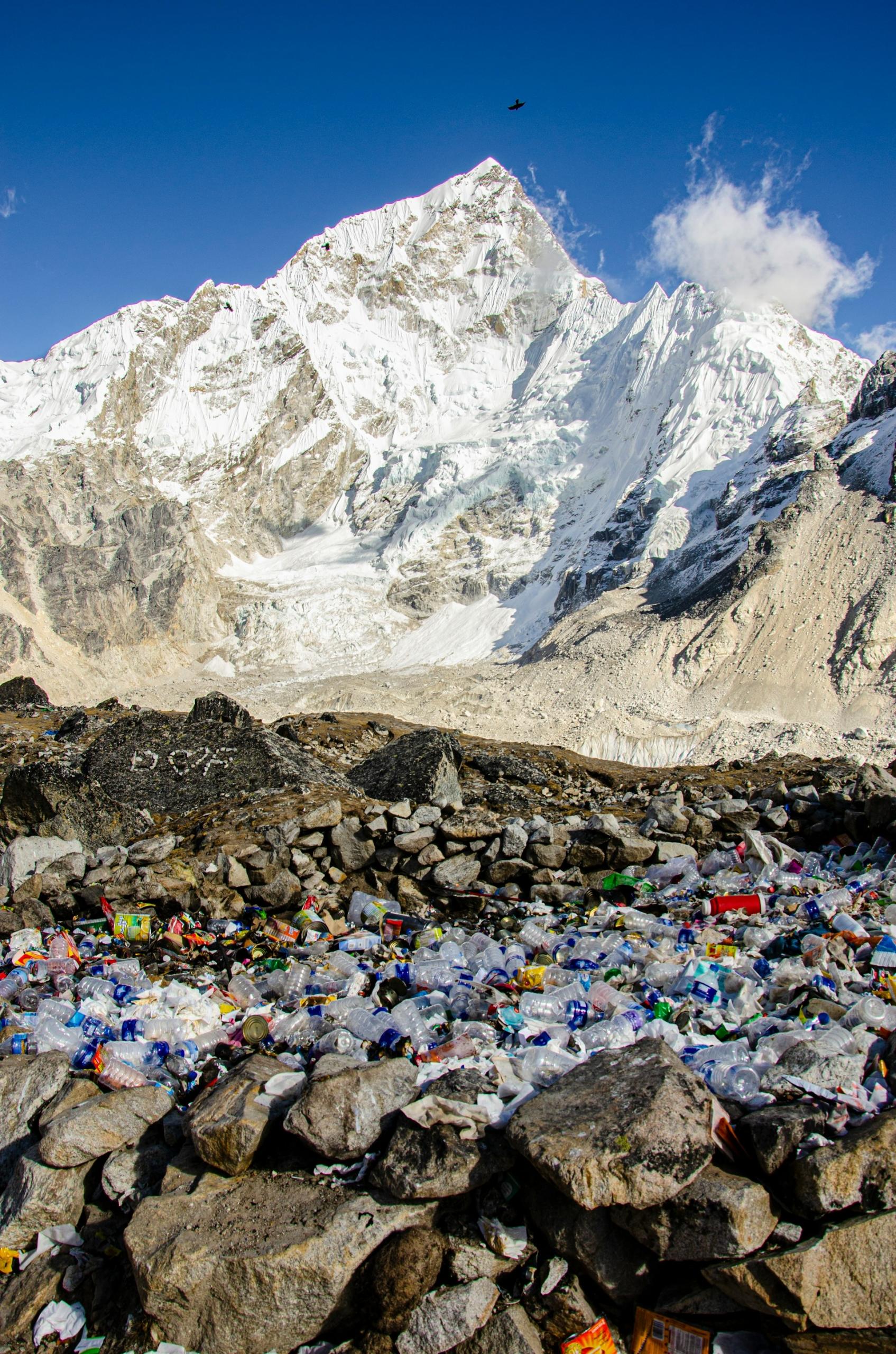
These maps do not record toxic waste. This is waste material made up of chemical compounds, which can cause serious illness or death if inhaled or consumed. We might include this information on a thematic map, which details specific indicators.
A tundra is a vast, treeless region located in the Arctic and subarctic regions of the world. Greenland, Europe, and North America all feature tundras. These regions also feature urban concentrations.
These are population centres whose inhabitants benefit from urbanisation. This term describes the process of economic and social change that compels an increasing share of the population to live in urban areas.
A Vent is a pipe-like opening in the Earth's crust that directs the flow of volcanic material. These vents are also called fumaroles. They generally appear near a volcano, which is a landform or mountain that releases lava, rock fragments, hot vapour, and gas from Earth's crust.
Vegetation corridors abound in volcanic regions because the soil is so rich. These corridors are strips of vegetation that connect larger, isolated vegetated areas. They help protect biodiversity.
Wadi: an Arabic term for a valley or ravine located in the Middle East or Northern Africa. It remains dry all year except during the rainy season.
Waterlogged describes a water-saturated object. Marshes and bogs are typically waterlogged. By contrast, water scarcity represents the lack of water resources sufficient to sustain an area or population.
West Asia, historically called the Middle East, has endured a long period of water scarcity. Other world regions, such as Sub-Saharan Africa, do, too.
Across the globe, many regions contain extensive wilderness zones - raw, unfarmed landscapes inhabited solely by wild animals. These natural areas typically face lower risks of wind erosion, which occurs when wind strips away soil and other surface matter.
A Zeugen is a mushroom-shaped rock resulting from wind erosion. Windblown sand shaves these rock formations over time. We find them mostly in deserts.
Summarise with AI:
Did you like this article? Leave a rating!


